Gallery
The gallery is intentionally recipe-shaped. Each entry names the dataset, the small set of APIs involved, and the core idea behind the composition.
Entries marked Pro require a license key to run as written.
Preview |
Entry |
|---|---|
|
|
|
|
|
|
|
|
|
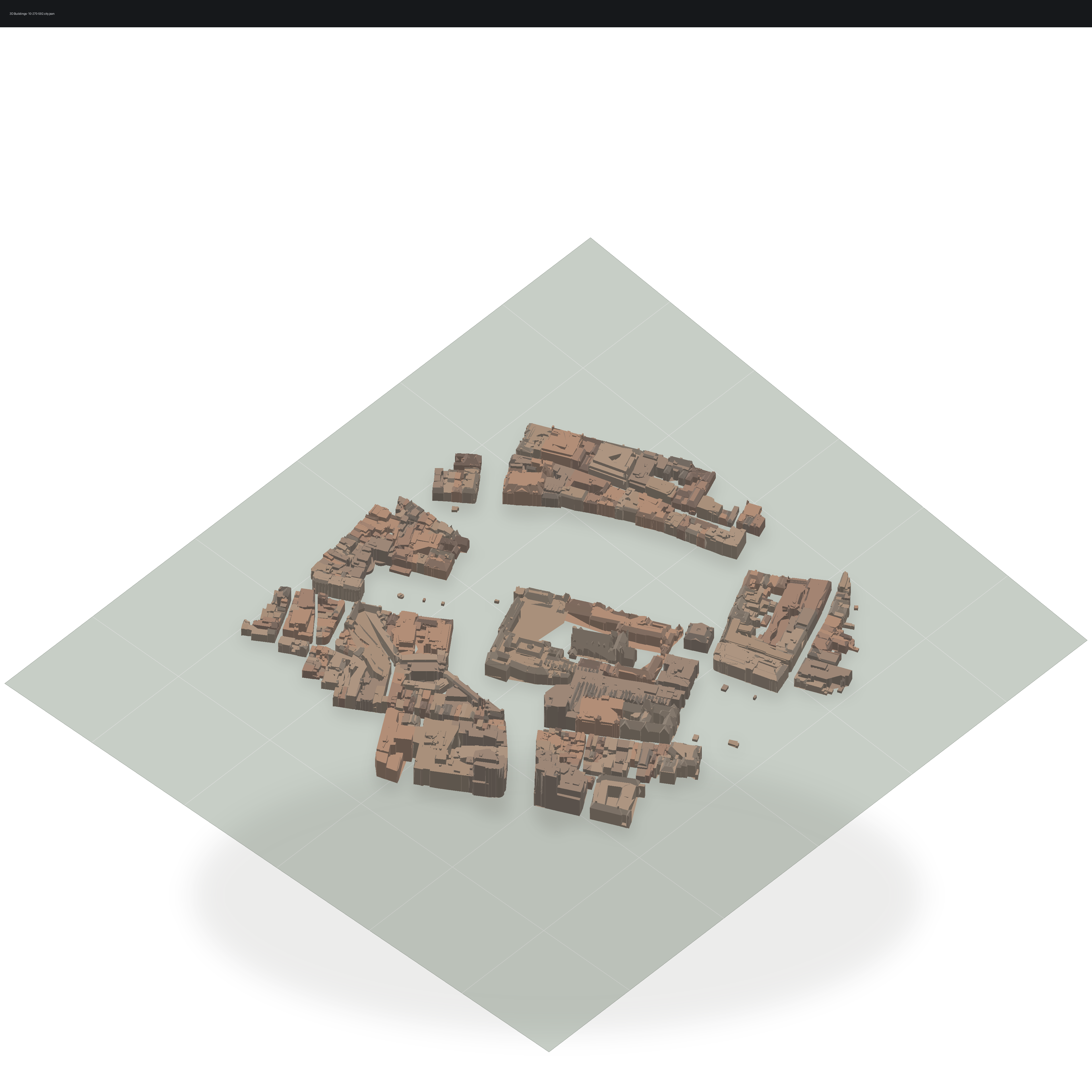
05. 3D buildings Pro |
|
|
|
|
|
|
|
|
|
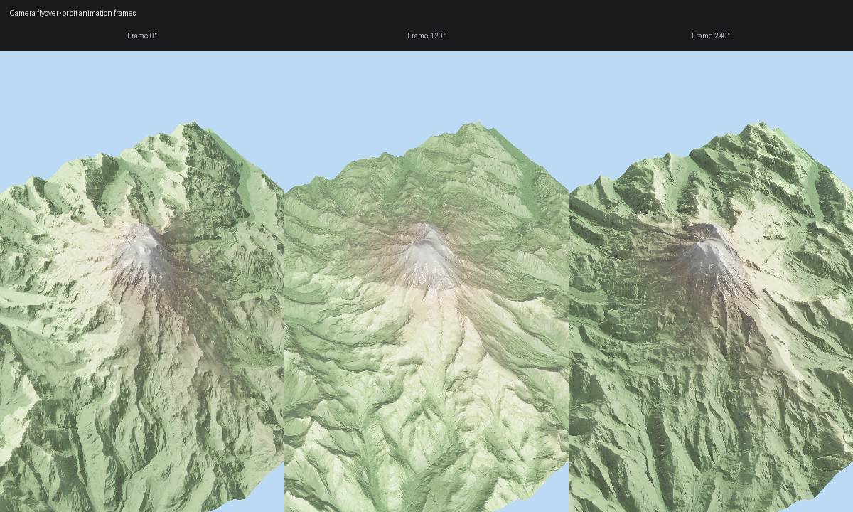
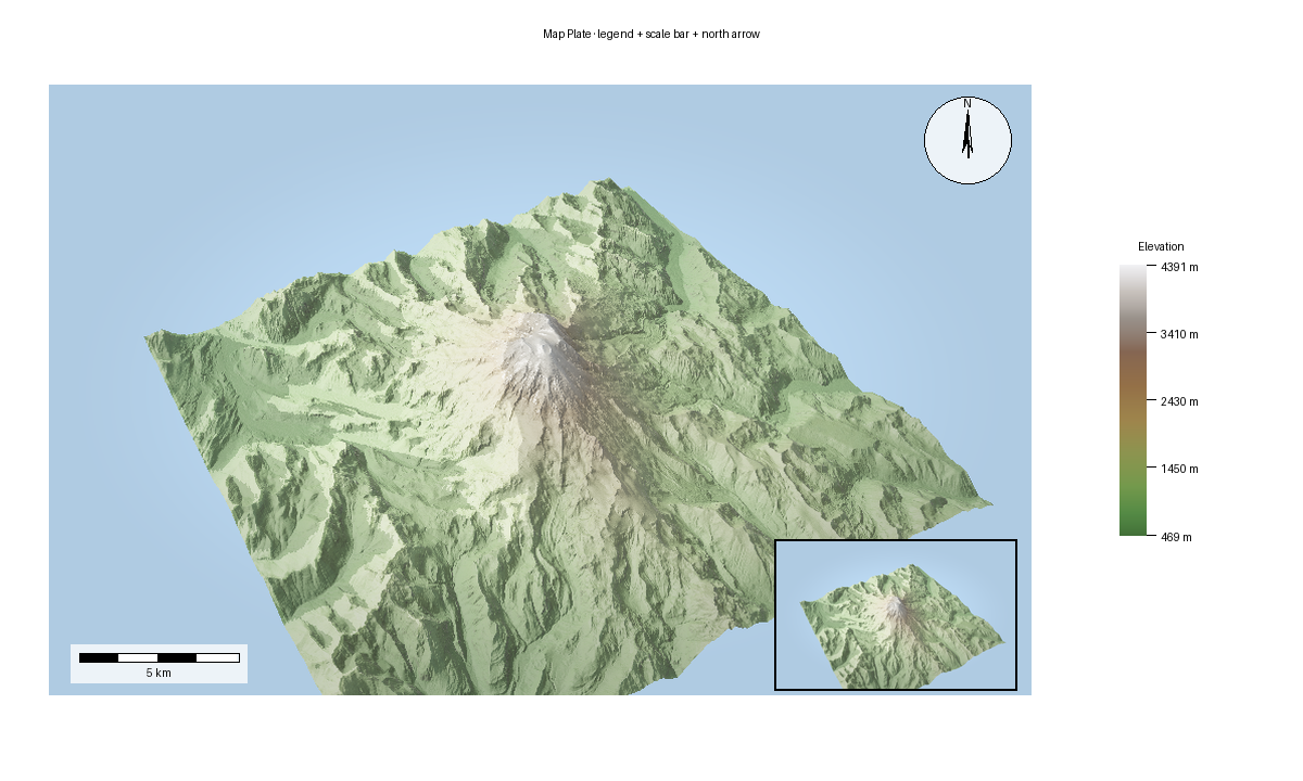
10. Map plate Pro |
Recipe Golden Fixtures
These small deterministic fixtures back the CI recipe-golden runner. Regenerate intentionally with FORGE3D_UPDATE_RECIPE_GOLDENS=1 pytest tests/test_recipe_goldens.py, review the image diffs, then commit the matching tests/golden/recipes/*.png updates with the code change. Failure artifacts are written under FORGE3D_RECIPE_GOLDEN_ARTIFACT_DIR when that environment variable is set; CI uploads them from tests/artifacts/.
CI runs recipe goldens in the Visual Goldens job. The primary path installs pyproj, probes the terrain backend with python scripts/terrain_ci_probe.py --mode terrain, then runs terrain and recipe image comparisons with FORGE3D_RUN_TERRAIN_GOLDENS=1. If the probe cannot prove a supported hardware-backed adapter, the job fails before image comparison instead of silently skipping shader-sensitive checks. FORGE3D_ALLOW_SOFTWARE_GOLDENS=1 is an explicit opt-in escape hatch for environments that cannot provide the GPU lane; it is scoped to recipe meta-validation and must not be treated as the primary render-quality gate.
To red-gate a shader-sensitive recipe change, make the smallest local shader perturbation that should affect a listed fixture, run FORGE3D_RUN_TERRAIN_GOLDENS=1 pytest tests/test_recipe_goldens.py -k <fixture>, and keep the generated FORGE3D_RECIPE_GOLDEN_ARTIFACT_DIR diff/actual/expected artifacts with the review notes. Revert the perturbation before landing. Only update a golden after the diff explains an intentional renderer change.
Fixture |
Family |
Golden |
Command |
|---|---|---|---|
|
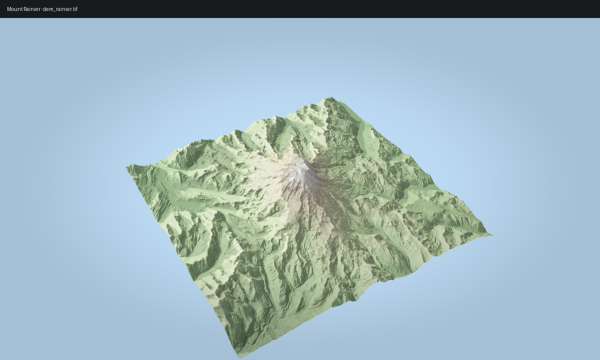
terrain_raster |
|
|
|
labels_vectors |
|
|
|
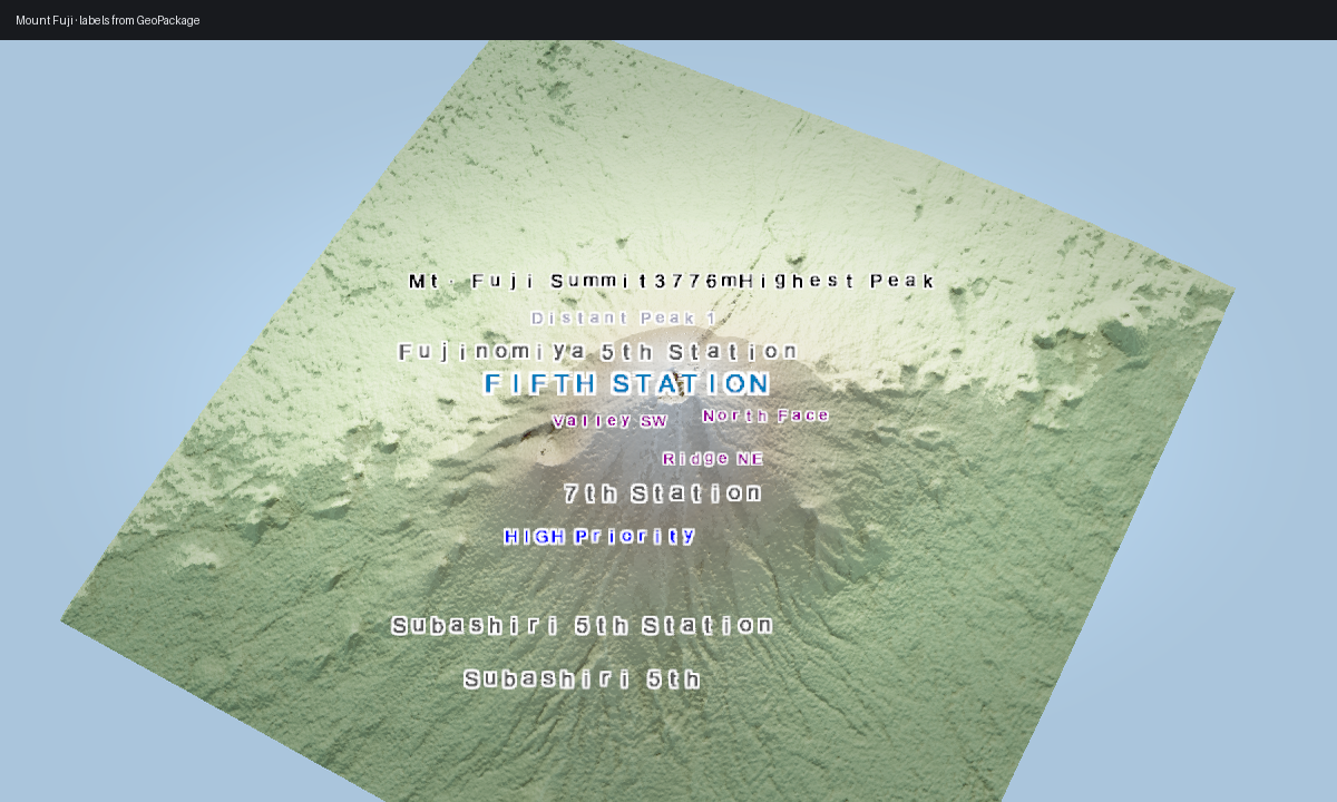
labels_depth_occlusion |
|
|
|
labels_depth_occlusion |
|
|
|
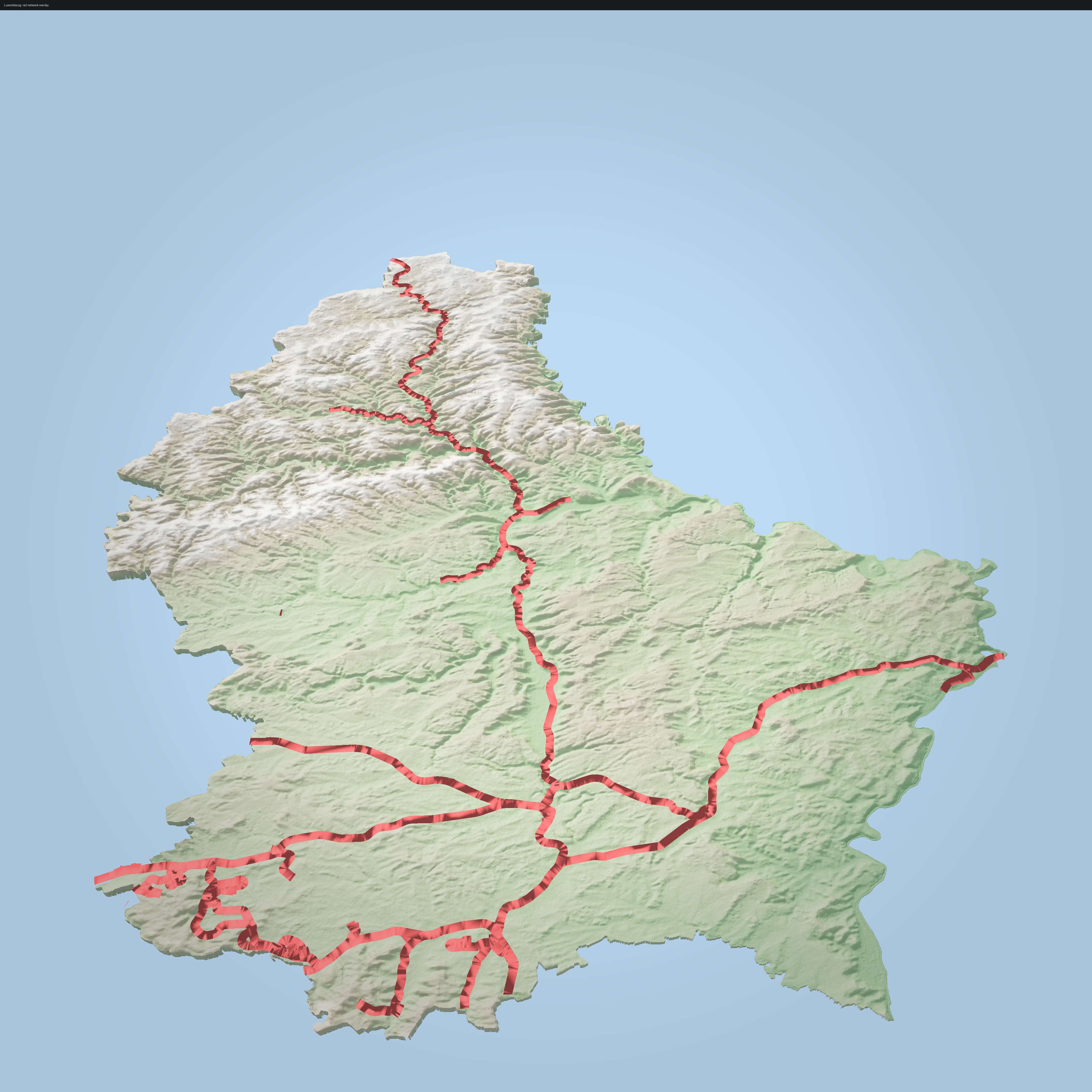
vector_stroke_quality |
|
|
|
vector_stroke_quality |
|
|
|
offline_accumulation |
|
|
|
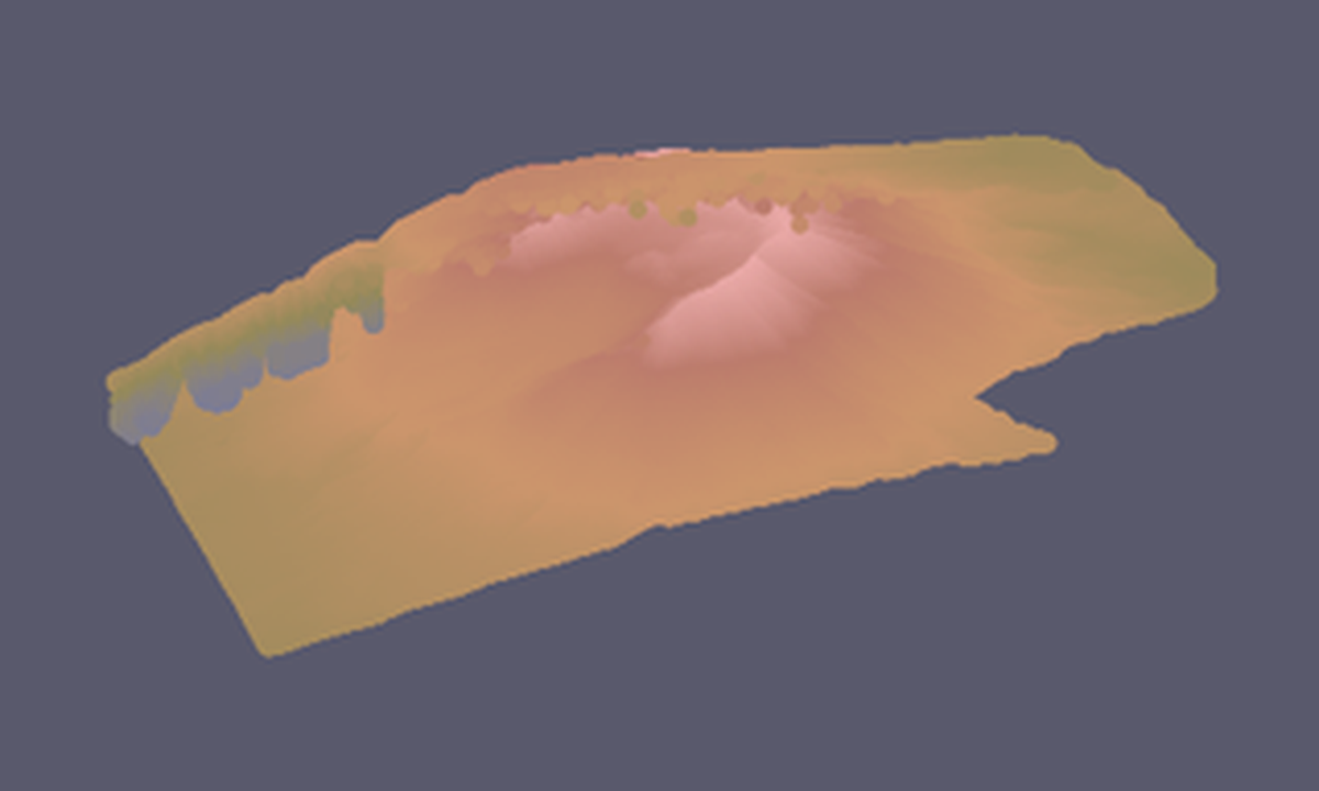
buildings |
|
|
|
map_furniture |
|
|
|
alignment_crs |
|
|
|
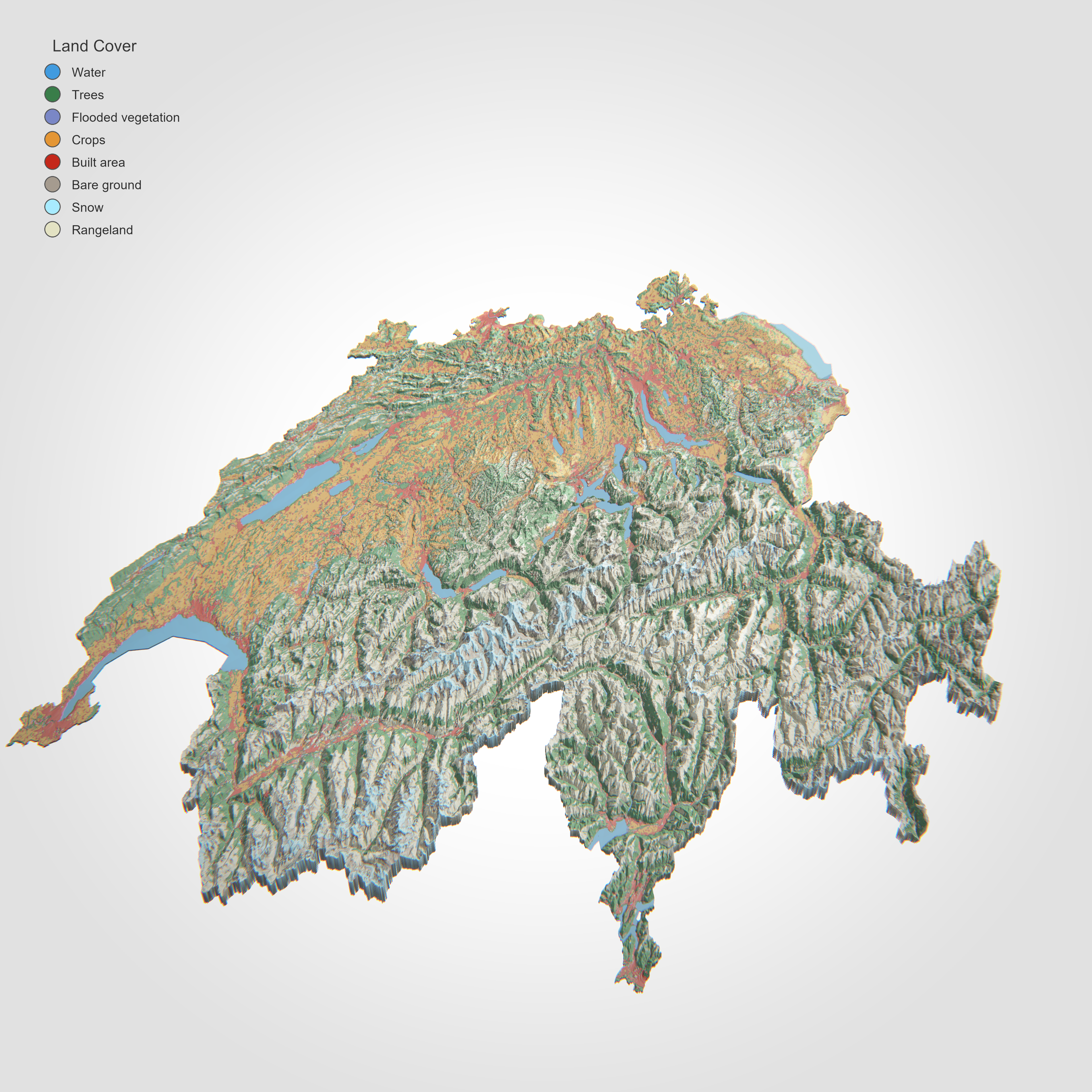
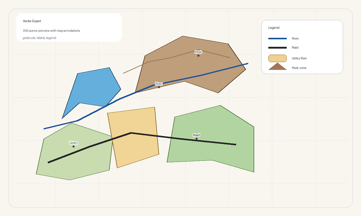
terrain_materials |
|
|
|
output_color |
|
|