forge3d Logo

Start

  • Quickstart
    • Install
    • First viewer session
    • First overlay
    • First notebook widget
    • When To Leave The Viewer Path
    • Next Steps
  • Architecture
    • The Two Rendering Paths
      • 1. Viewer-first scene control
      • 2. Native/offscreen rendering
    • Shared Runtime Layers
      • Native runtime
      • Python package
      • Examples, tutorials, and gallery
    • IPC Model
    • Data Flow
      • Terrain
      • Scene layers
      • Packaged outputs
    • Open-Source And Pro Boundaries
    • Reading The Repo
  • Viewer
    • Entry Points
      • forge3d.open_viewer_async()
      • forge3d.open_viewer()
      • forge3d.ViewerWidget
    • Common ViewerHandle Operations
    • When To Use Raw IPC
    • Viewer-Centric Example Map
    • Related Pages

Guides

  • Feature Map
    • Open-Source Core
    • Pro Workflows
    • Core Package Modules
    • What The Examples Directory Actually Covers
    • Choosing The Right Entry Point
  • Data And Scene Workflows
    • Terrain Inputs
    • Datasets And CRS Helpers
    • Raster Overlays
    • Vector Overlays, Labels, And Styles
      • 1. Viewer overlays and labels
      • 2. Style translation and 2D vector scenes
    • Point Clouds
      • Viewer path
      • Module path
    • Buildings And 3D Tiles
    • Scene Bundles
    • Example Map
  • Rendering And Analysis
    • Viewer-First Rendering
    • Terrain Configuration
    • Native And Offscreen Rendering
      • Scene
      • Session + TerrainRenderer
    • Offline Accumulation And Denoise
    • Geometry, Mesh, And Vector Helpers
    • Path Tracing, SDF, And Lighting
    • Diagnostics And Device Utilities
    • Example Map
  • Offline Terrain Rendering
    • When To Use It
    • Public Accumulation Primitives
    • Output Contract
    • Adaptive Accumulation
    • Denoise Flow
    • Relationship To The Rest Of The Docs
  • Output And Integration
    • Snapshots And Frame Sequences
    • Notebook Integration
    • Pure-Python Composition On Top Of forge3d
    • Map Plates And Cartographic Furniture
    • Vector Export
    • Bundles And Repeatable Scenes
    • CLI And Integration Entry Points
  • Examples Catalog
    • Foundational Sanity Checks
    • Interactive Terrain And Cartography
    • Overlays, Labels, Styles, And Picking
    • Point Clouds, Buildings, And Large Assets
    • Animation And Camera Automation
    • Notebooks
    • Support Files In examples/
    • Where To Go Next

Learn

  • Tutorials
    • GIS Track
      • Visualize Your First DEM
        • Minimal API loop
        • Gallery-backed script
        • What matters
        • Expected output
      • Drape Overlays On Terrain
        • Example: Swiss DEM plus land-cover overlay
        • Gallery-backed script
        • When you need vector overlays
        • Expected output
      • Build A Map Plate
        • Compose a plate
        • Gallery-backed script
        • Notes
        • Expected output
      • 3D Buildings
        • Load the gallery CityJSON tile
        • Inspect material defaults
        • Inspect extracted triangle meshes
        • Expected output
    • Python Track
      • Your First 3D Terrain
        • Launch the viewer from a bundled DEM
        • Update it from Python
        • Gallery-backed script
        • Expected output
      • Camera, Lighting, And Animation
        • Manual camera and sun updates
        • Simple scripted flyover
        • Notebook widget version
        • Gallery-backed script
        • Expected output
      • Point Clouds
        • Load a LAZ sample
        • Blend terrain and point cloud
        • Gallery-backed script
        • Expected output
      • Scene Bundles
        • Save a bundle
        • Load and inspect
        • Load the same bundle into a running viewer
        • Expected output
  • Gallery
    • Mount Rainier
      • Ingredients
      • Sketch
    • Mount Fuji Labels
      • Ingredients
      • Sketch
    • Swiss Land-Cover
      • Ingredients
      • Sketch
    • Luxembourg Rail Network
      • Ingredients
      • Sketch
    • 3D Buildings
      • Ingredients
      • Sketch
    • Point Cloud
      • Ingredients
      • Sketch
    • Camera Flyover
      • Ingredients
      • Low-Level Baseline
      • Rig Demo
    • Vector Export
      • Ingredients
      • Sketch
    • Shadow Comparison
      • Ingredients
      • Sketch
    • Map Plate
      • Ingredients
      • Sketch

Reference

  • API Reference
    • Top-Level Package
    • Viewer, Notebook, And IPC
    • Terrain Configuration And Automation
    • Data Access And Scene Inputs
    • Scene Assets And Packaging
    • Cartography And Export
    • Native Rendering And Quality
    • Geometry, Mesh, Vector, And IO
    • Materials, Textures, And Utilities
    • CLI-Oriented Helpers
forge3d
  • Gallery
  • Edit on GitHub

Gallery

The gallery is intentionally recipe-shaped. Each entry names the dataset, the small set of APIs involved, and the core idea behind the composition.

Entries marked Pro require a license key to run as written.
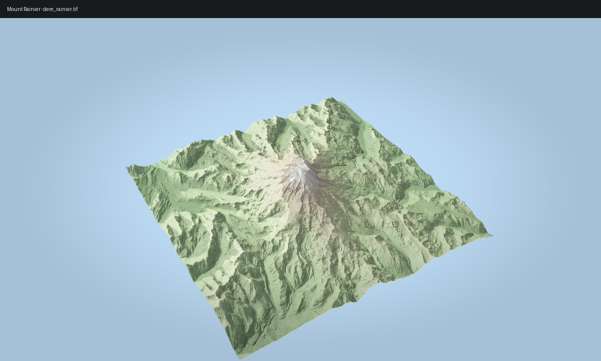
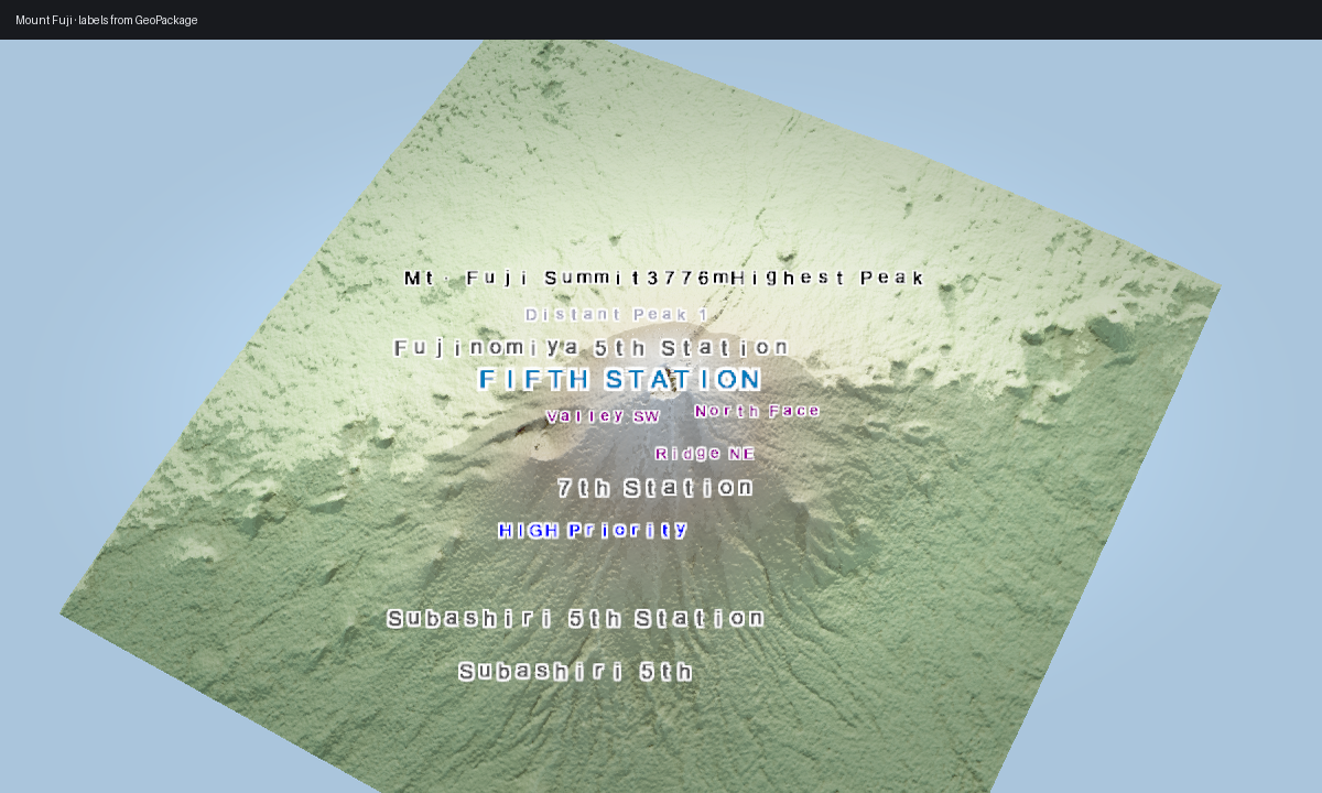
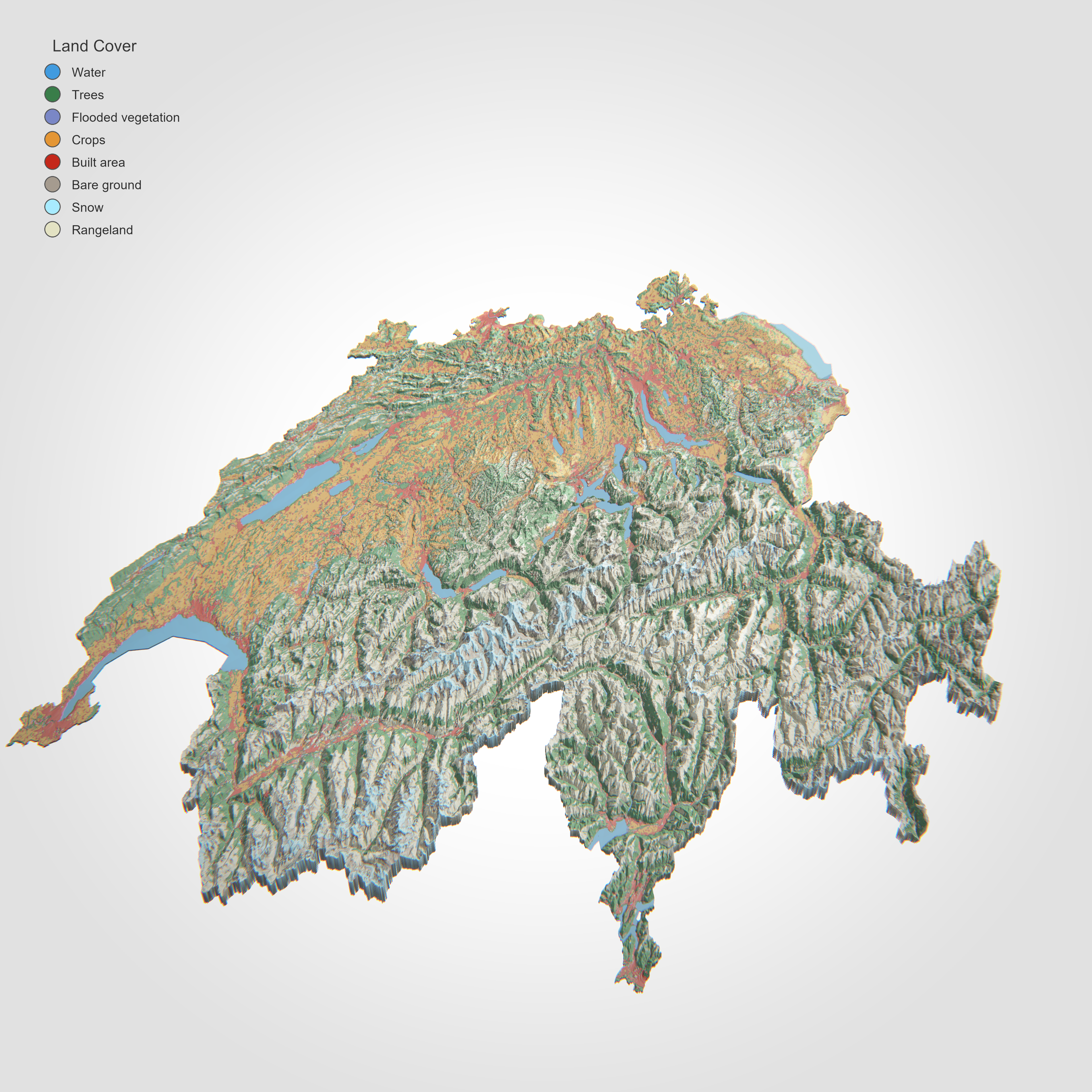
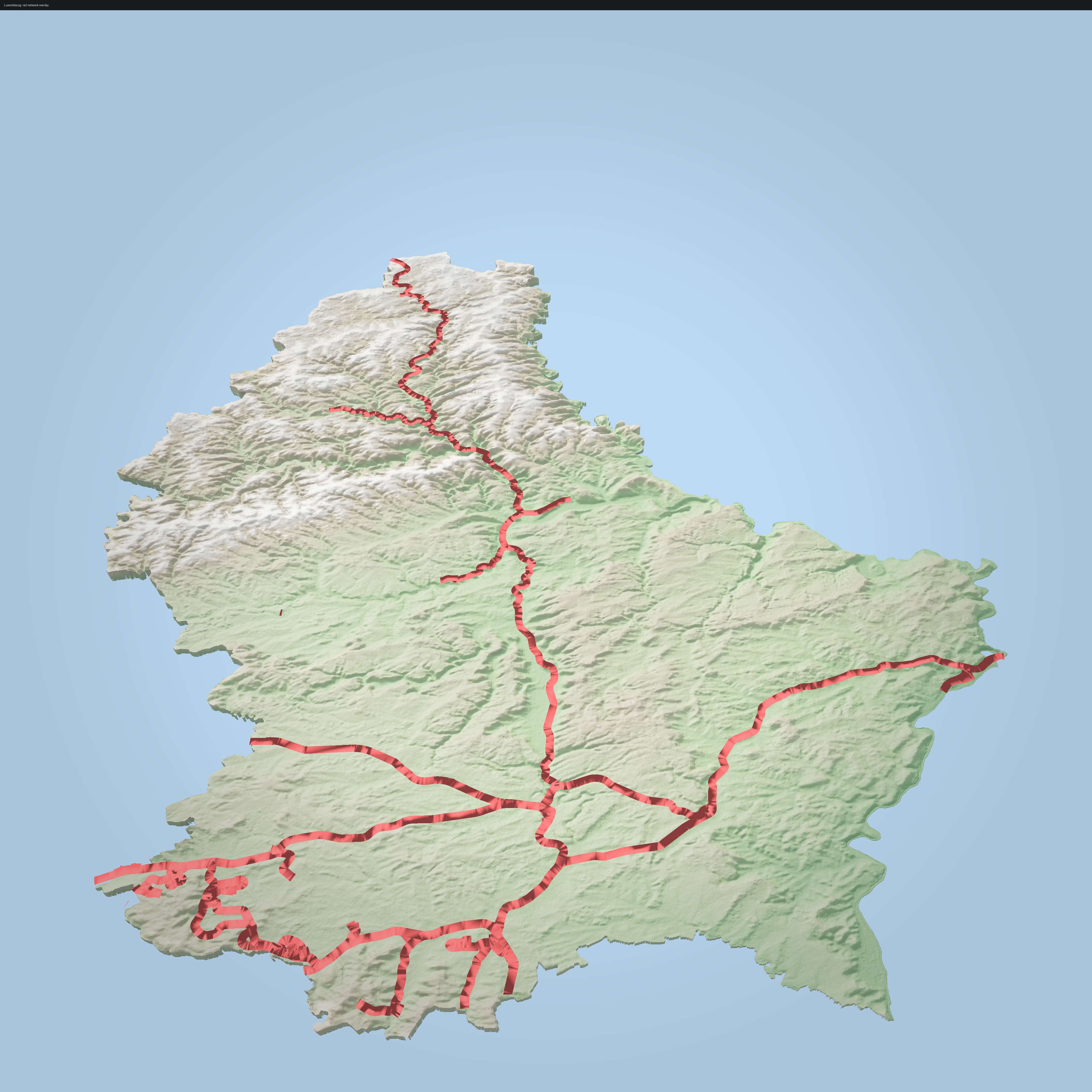
Preview

Entry

Mount Rainier

01. Mount Rainier

Mount Fuji labels

02. Mount Fuji labels

Swiss landcover

03. Swiss land-cover

Luxembourg rail

04. Luxembourg rail network

3D buildings

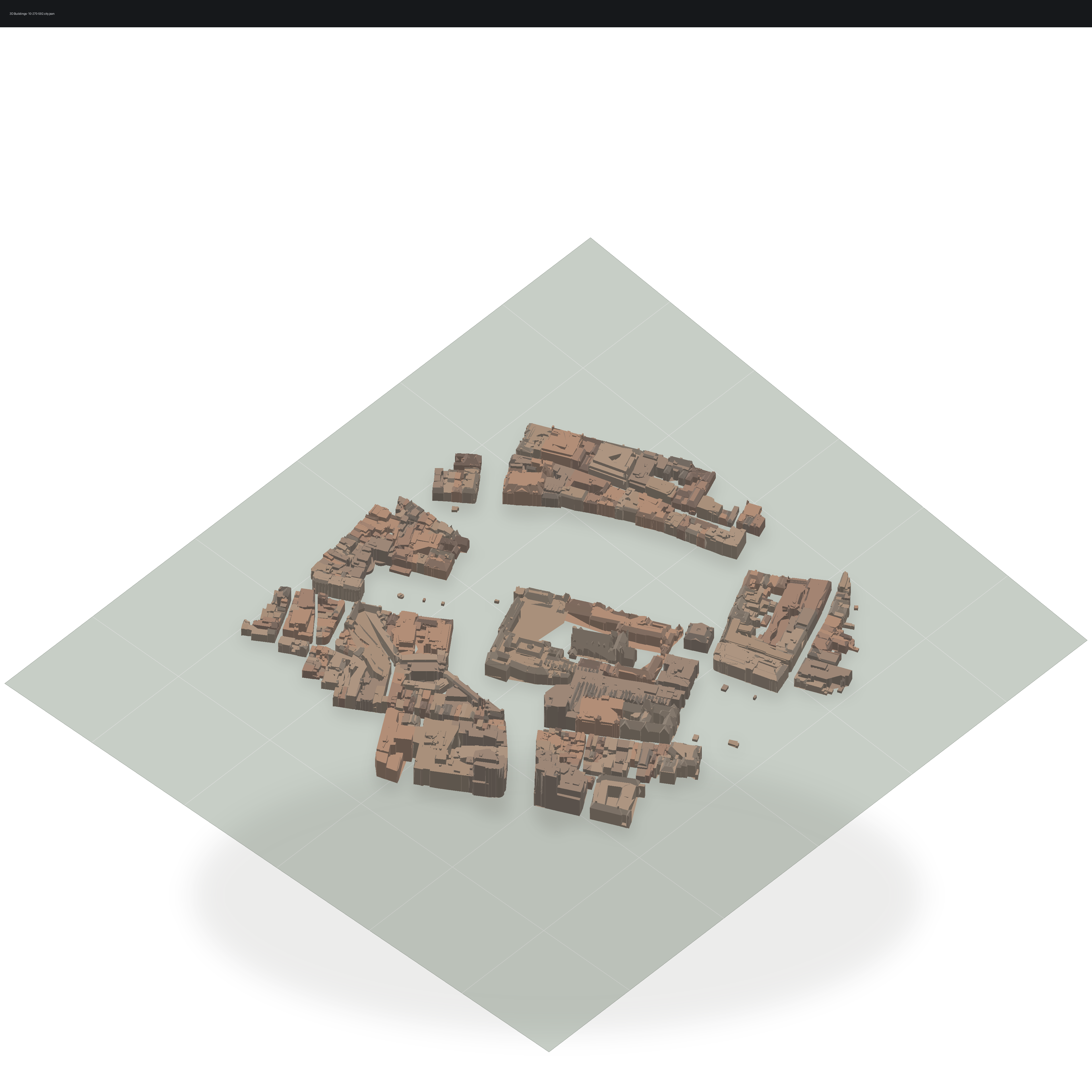
05. 3D buildings Pro
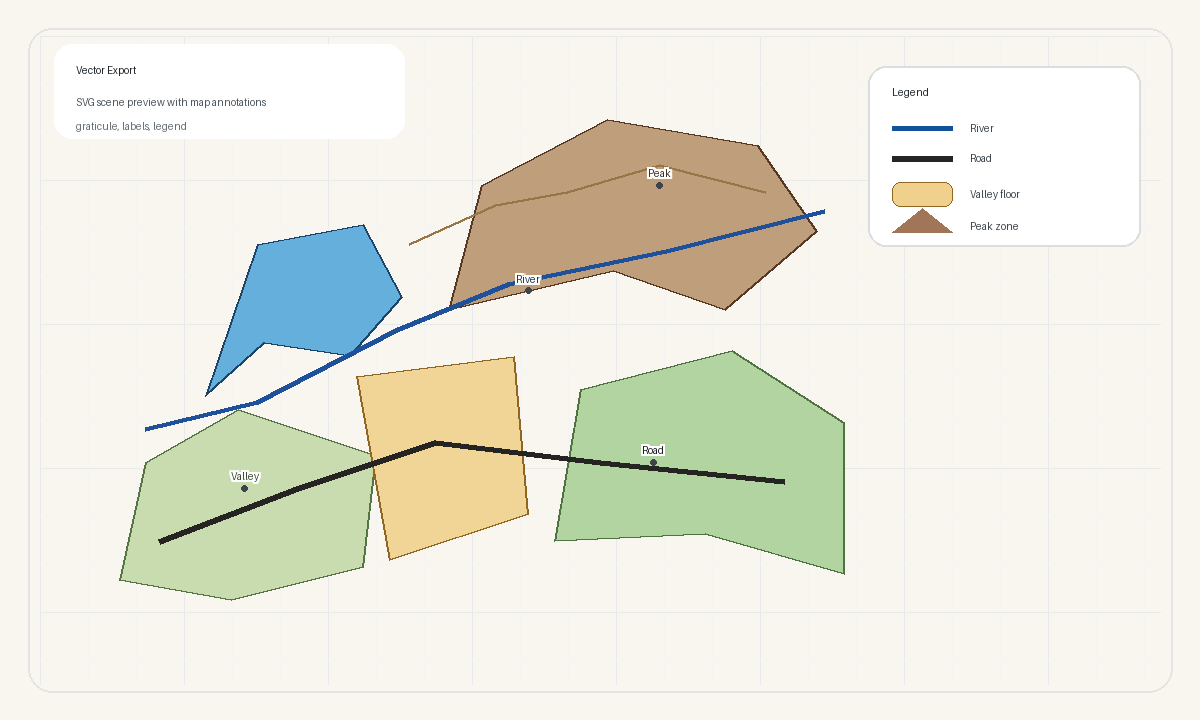
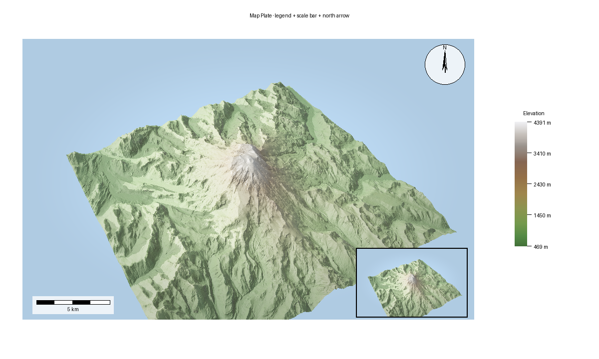
Point cloud

06. Point cloud

Camera flyover

07. Camera flyover

Vector export

08. Vector export Pro

Shadow comparison

09. Shadow comparison

Map plate

10. Map plate Pro

  • Mount Rainier
  • Mount Fuji Labels
  • Swiss Land-Cover
  • Luxembourg Rail Network
  • 3D Buildings
  • Point Cloud
  • Camera Flyover
  • Vector Export
  • Shadow Comparison
  • Map Plate
Previous Next

© Copyright 2025-2026, forge3d contributors.

Built with Sphinx using a theme provided by Read the Docs.